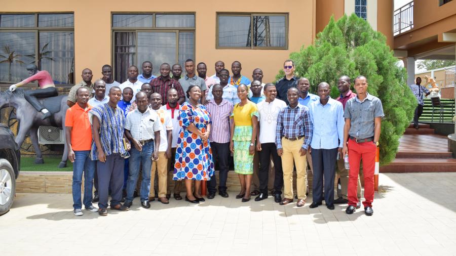
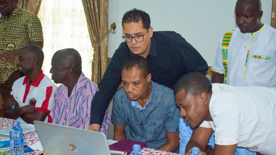
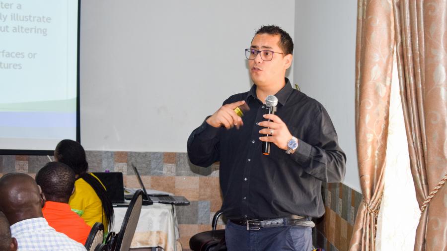
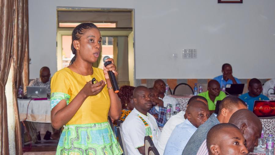
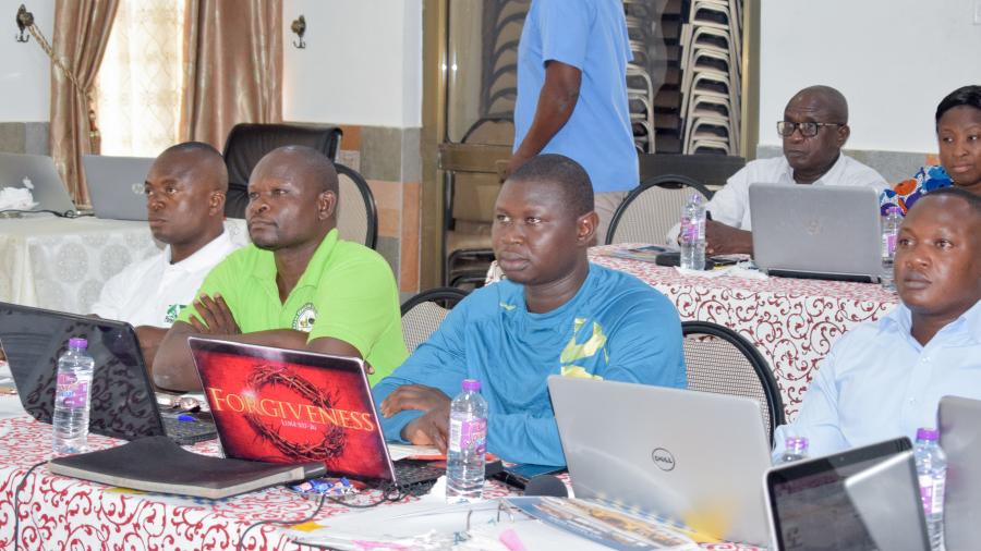
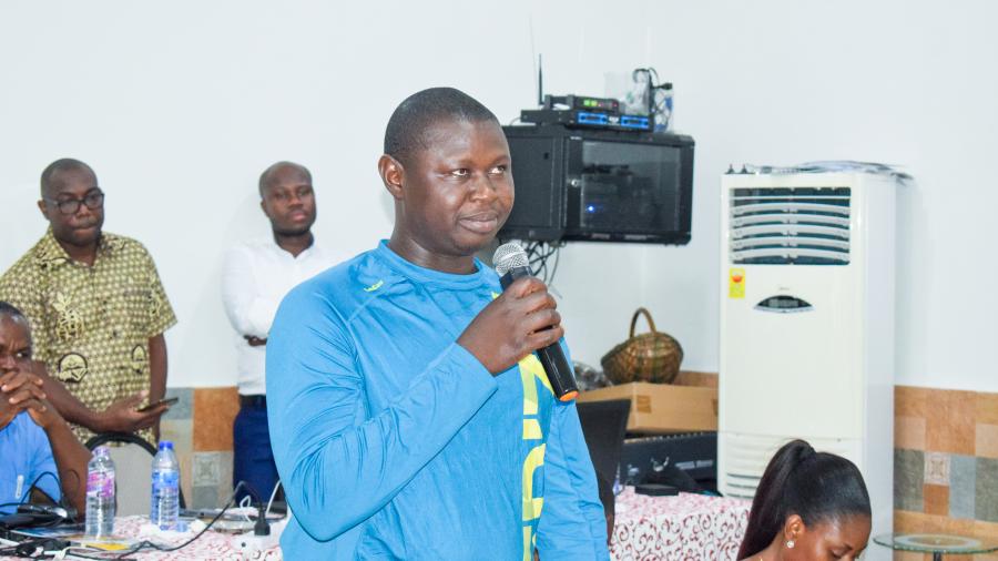
OSS, represented by Mrs Fatou Mar and M Mustapha Mimouni, organized a training and support workshop on GIS and remote sensing for monitoring and evaluation of the Ghana Sustainable Land and Water Management Project (GPWMP) as part of the BRICKS/Sahel and West Africa - SAWAP (Building Resilience through Innovation, Communication and Knowledge Services) programme.
The purpose of this workshop was to strengthen the technical capacity of the team in charge of monitoring, evaluation and development of geospatial services of the SAWAP Ghana project and its partners in order to contribute to the achievement of their results.
The main objective was to consolidate the knowledge of FIMP members and resource persons in the field of monitoring and evaluation, in particular in the components related to GIS and spatial analysis, image processing techniques and land use mapping from satellite data and the use of GPS data and their integration into a GIS for monitoring and evaluation indicator information.
This workshop, which meets the needs of Ghana's project partners, is part of OSS' activities as coordinator of monitoring and evaluation of the SAWAP programme and geospatial services, whose main expected results are:
- Develop new monitoring tools and capacity building activities at regional and national levels to monitor the procedures and impacts of the SAWAP project portfolio.
- Monitor the SAWAP portfolio regularly through a series of thematic indicators and processes.
Recommendations focusing mainly on technical and organizational capacity building were made by the regional representatives to the project management team at the central level.


